
Digital Solutions
FRAGTrack™
State-of-the-art fragmentation insights solution.
A comprehensive fragmentation measurement and insights solution.

A comprehensive fragmentation measurement and insights solution.
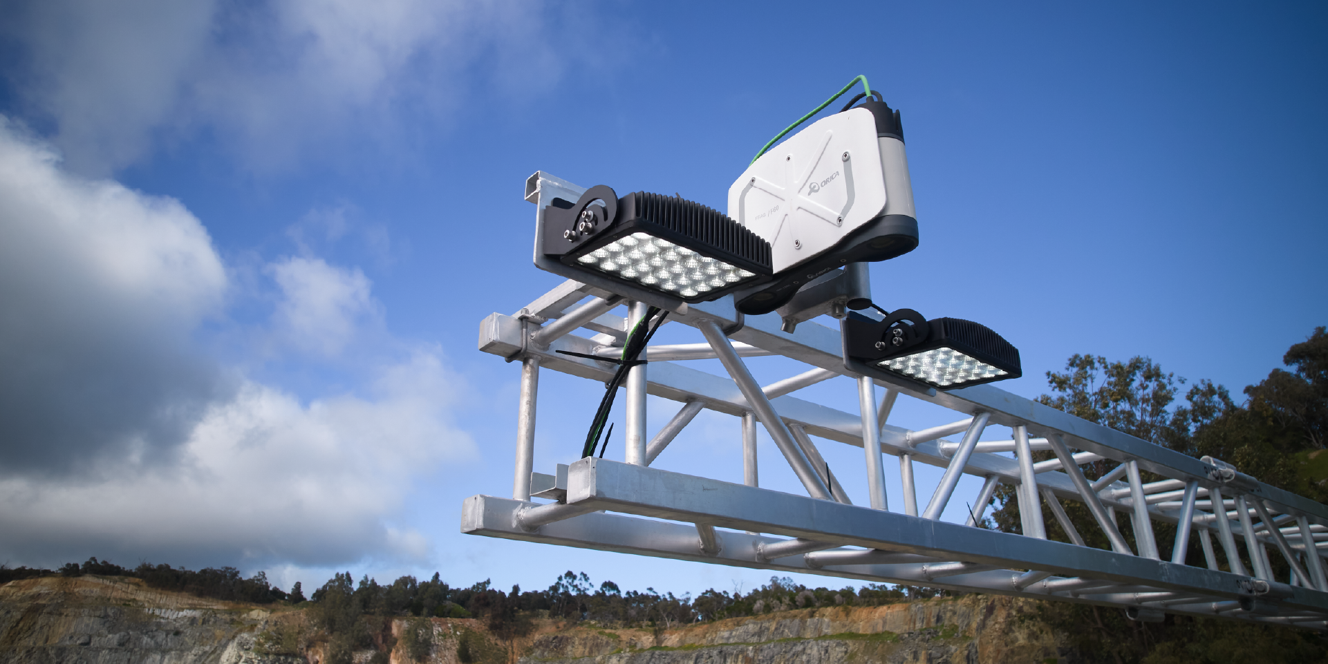
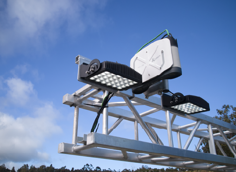
FRAGTrack™ helps mining operations better understand the size, distribution and location of material at critical points across the value chain. The solution can be deployed on mobile digging equipment, including shovels, front-end loaders and excavators, as well as fixed installations such as gantries, crushers and conveyors.
At the core of the solution is FRAGTrack™'s Geospatial capability, which enables fragmentation data to be linked to specific locations within the muckpile and connected to broader mining workflows. Combined with proven integration capabilities, this allows customers to trace fragmentation performance back to blasting activities and forward to downstream processes, turning measurement into actionable operational insight.
Benefits
Benefits
FRAGTrack™ provides many benefits which can help an operation gain insights into the outcome of blasting processes.

Blast quality and performance

Reduce costs of drill and blast

Operational efficiency and performance

Data insights
Key features
Key features
Improve blast performance
Gain rapid, objective insights into blast fragmentation performance and compare results against design expectations. By understanding fragmentation outcomes sooner, operations can identify improvement opportunities, optimise future blast designs, and support continuous improvement across drill and blast activities.
Enhance downstream efficiency
Better fragmentation visibility helps operations understand how blast outcomes influence loading, hauling, crushing, conveying, and processing performance. By identifying fragmentation trends and variability, sites can make more informed decisions that support smoother material flow, improved productivity, and more consistent processing outcomes.
Geospatial capability
FRAGTrack™'s integrated Geospatial capability enables fragmentation measurements to be visualised and analysed in their spatial context across the blast area. This allows operations to identify fragmentation variability, correlate results with geology and blast design parameters, and gain deeper insights into factors influencing performance.
Advanced machine vision and AI intelligence
Leveraging advanced binocular machine vision and AI-driven image analysis, FRAGTrack™ delivers highly accurate and repeatable fragmentation measurements across a range of operating environments. The system automatically analyses rock size distribution, providing reliable data that supports faster and more confident decision-making.
Reduce maintenance costs and downtime
A lighter-weight, robust hardware design eliminates the need for vibration isolators and significantly reduces service loads on critical components. Combined with a redesigned fascia and front glass featuring an oleophobic coating to minimise material build-up on camera lenses, the system helps reduce maintenance requirements, improve reliability, and maximise operational uptime.
Web-based interface
Access fragmentation data and insights through an intuitive web-based interface designed to support operational decision-making. Users can view results, analyse trends, generate reports, and share information across teams from virtually anywhere, improving visibility and collaboration.
Industries
Industries

Iron ore

Surface metal
Underground mining
Quarrying
165+ digitised blasts

Rosebery Mine, AU
165+ digitised blasts
"The fragmentation analysis… enables us to become more efficient… and work through a fragmentation that works for our milling operations."

Drury Quarry, NZ
Saved 800+ hours of manual processing
"Reducing our carbon footprint is a big driver for us and our investment decisions so we deliver our products to our customers with as fewer inputs as possible."
FRAGTrack™ product range
FRAGTrack™ product range
FRAGTrack™ Shovel delivers critical fragmentation insights directly from the dig face, enabling operations to measure post-blast performance where it matters most. By automating fragmentation analysis at the muck pile and continuously assessing particle size during loading, it provides real-time data that helps engineers optimise blast designs, improve outcomes, and improve costs drivers such as material diggability and truck loading times.

Our valued customers
Our technologies enable operations to confidently make strategic decisions which deliver efficiencies and enhance productivity.







Resources
Resources
Our industry solutions

Solution
Fragmentation Measurement & Reconciliation

Solution
Underground Fragmentation Measurement & Reconciliation

Solution
Tailored Blast Loading and Validation

Solution
Blasting for Plant Throughput Optimisation
Contact an expert
Contact an expert
Whether you need support or simply want to learn more, reach out to our FRAGTrack™ team. We’re here to help.