

Remote Monitoring with InSAR & Radar
See risk sooner. Understand it better. Act with confidence.
Understanding slope and ground behaviour across a mine site requires broad, sitewide visibility paired with precise monitoring of critical areas. When monitoring solutions – like satellite InSAR and ground-based radar – operate independently, gaps in coverage can arise, and data is fragmented between workflows. This makes it difficult to identify emerging risks, prioritise action and confidently assess changing ground conditions.
Orica Digital Solutions brings together 3vGeomatics’ satellite InSAR and GroundProbe’s ground-based radar with industry expertise and support from our Geotechnical Specialist Services (GSS) to help you detect, understand and manage slope risk.
By combining site-wide movement detection with real-time, safety-critical monitoring, and geotechnical data interpretation, we provide a more complete understanding of ground behaviour to help protect people and assets while maintaining operational continuity.
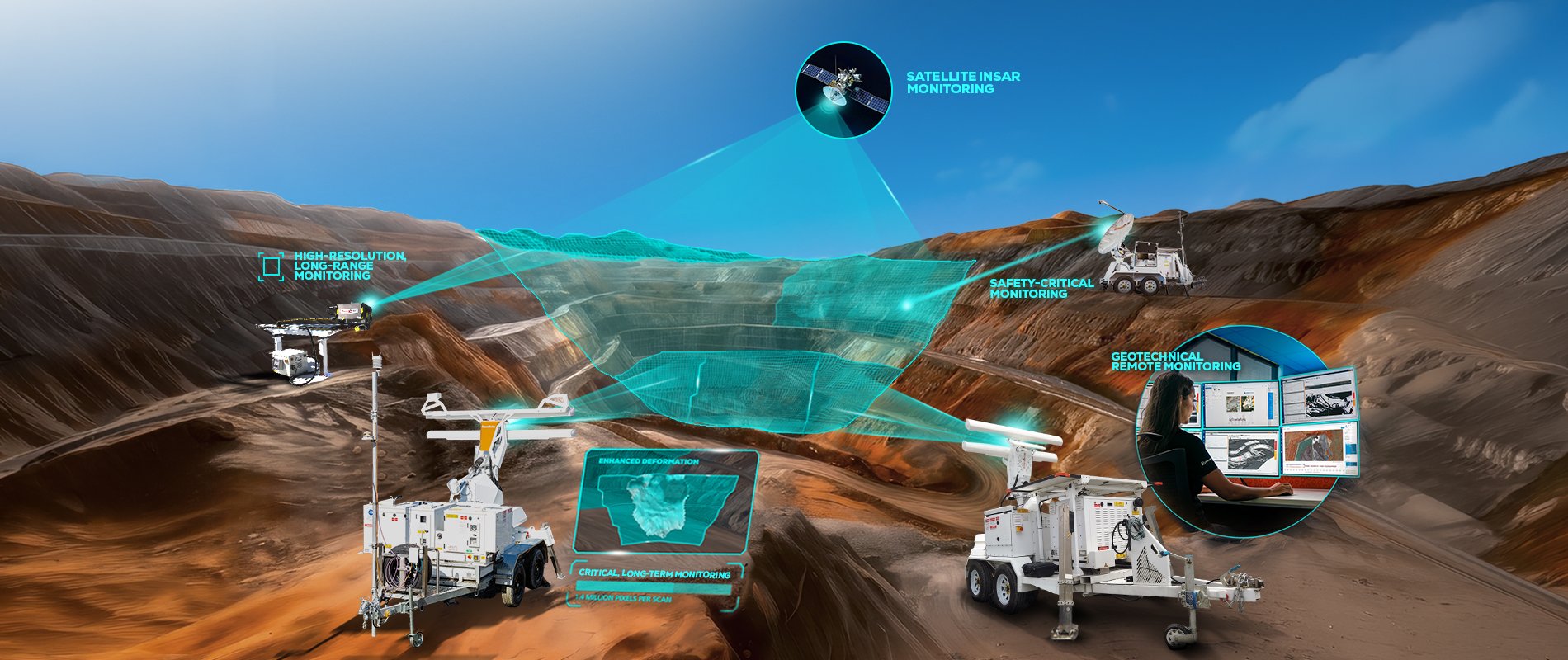
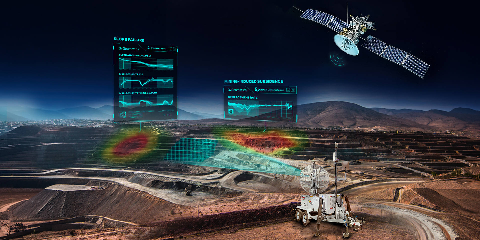
Identify emerging risks and reduce operational blind spots.
Gain a clearer understanding of ground movement by combining site-wide satellite InSAR monitoring with ground-based radar monitoring.
Identify emerging areas of concern and direct ground-based, critical monitoring where it is needed to reduce blind spots across your operation.
With earlier awareness of changing ground conditions, your teams can proactively manage risk and make more informed decisions with confidence.
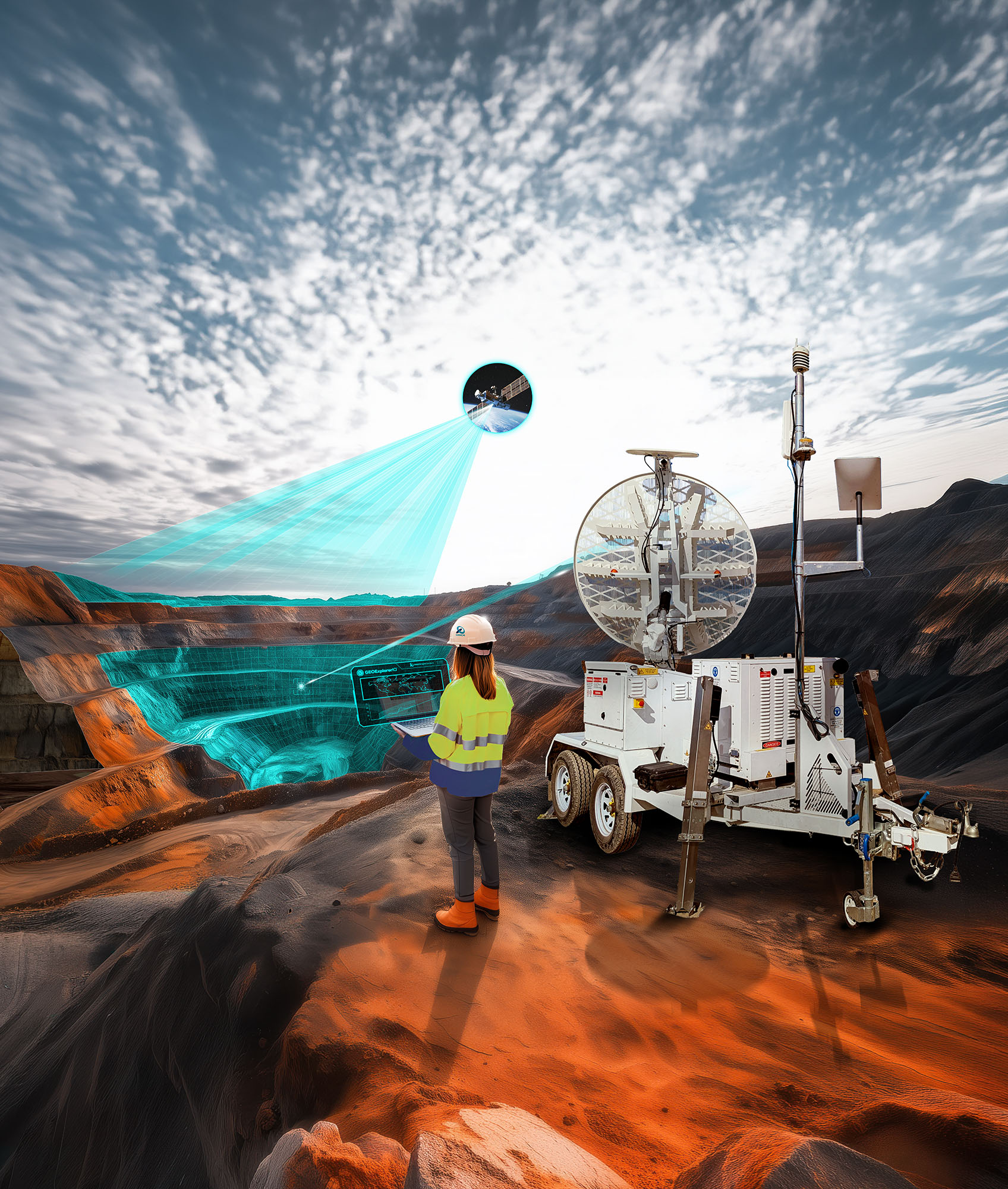
Build a more complete understanding of slope behaviour.
Combine the complementary monitoring solutions of satellite InSAR and ground-based radar to gain a clearer view of areas of concern and validate observations across systems.
With expert geotechnical insight and interpretation, your teams can reduce uncertainty when assessing changing ground conditions and gain a more complete picture of monitoring coverage by leveraging the lines of sight (LOS) unique to each technology.
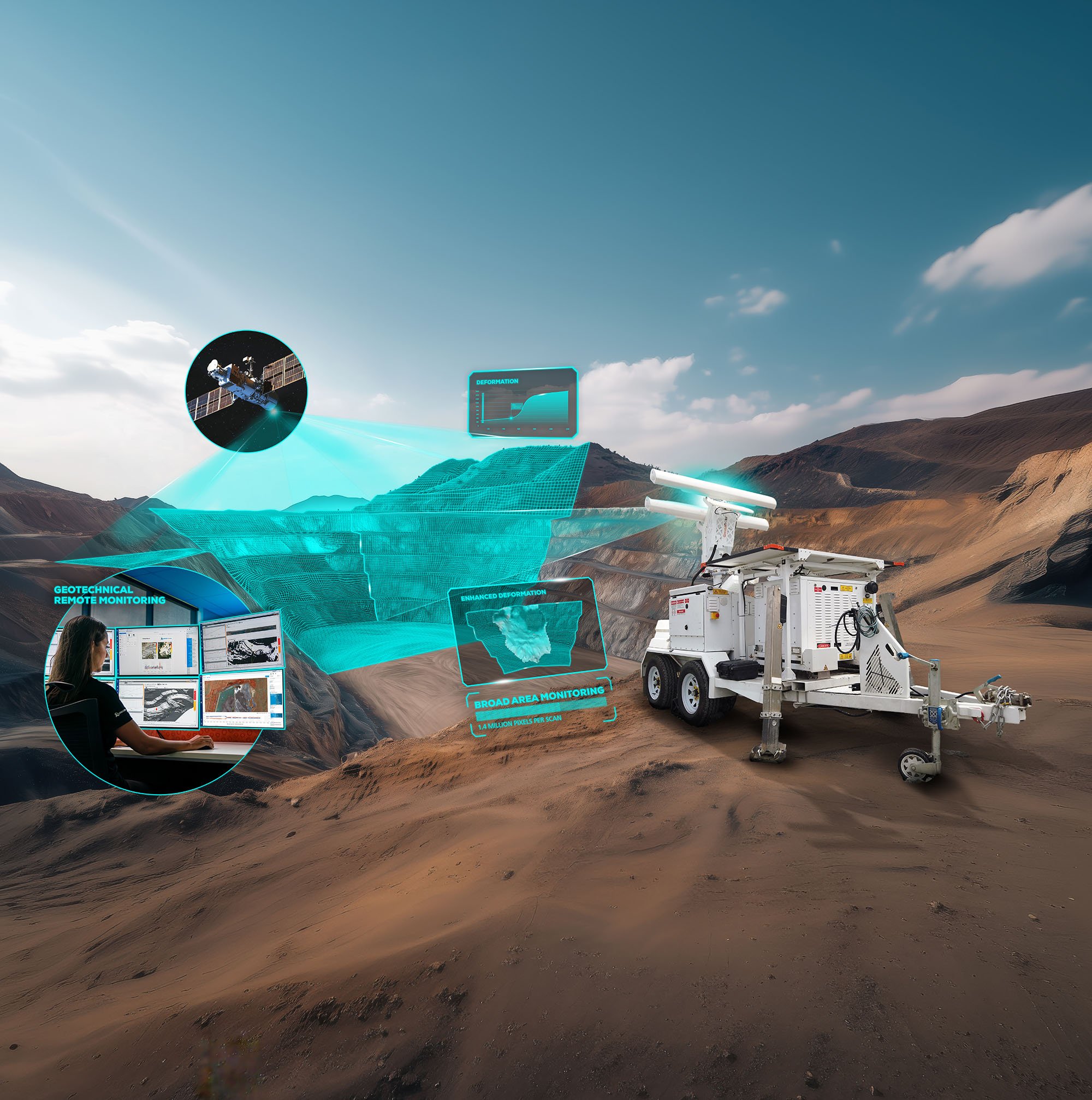
Manage risk across the full monitoring lifecycle.
Use site-wide satellite monitoring insights to understand broad-area movement over long periods and direct targeted ground-based monitoring of safety-critical areas of concern.
Maintain awareness as ground conditions and risk profiles evolve, with continuous, complementary monitoring that supports a more resilient monitoring strategy.

Identify emerging risks and reduce operational blind spots.
Access Orica Digital Solutions’ Geotechnical Specialist Services (GSS) – our dedicated team of geotechnical engineers and experts – to help interpret movement data, assess risk and prioritise response actions.
By bringing together connected monitoring solutions, services and expert support, your teams can move faster from detection to decision and respond to changing conditions with confidence.
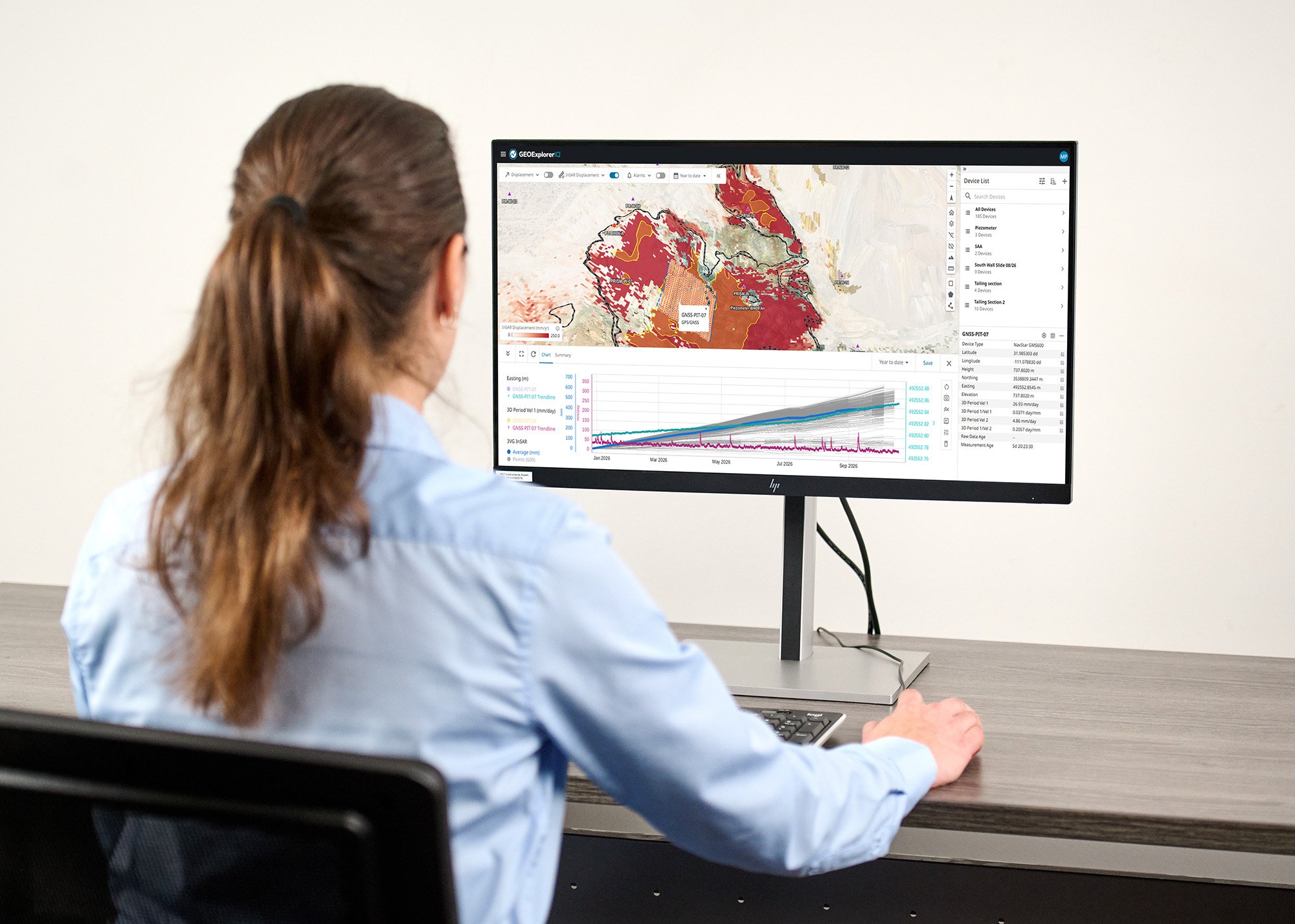
One trusted partner for connected technology, expertise and support.
Geosolutions brings together InSAR and ground-based radar expertise under Orica Digital Solutions’ ecosystem to help you see risk sooner.
Connected data and workflows ensure a more complete understanding of site conditions and risk, while Geotechnical Specialist Services (GSS) offer 24/7 continuous, remote monitoring and expert insight beyond the data.
Backed by localised support and global geotechnical expertise, your teams can turn movement data into informed decisions and confident action.
Unlock the future of geohazard monitoring.
Unlock the future of geohazard monitoring.
Connect with our geotechnical experts across GroundProbe and 3vGeomatics to learn how a complementary monitoring strategy of satellite InSAR and ground-based radar can transform your geotechnical monitoring.