

Introducing GEOExplorerIQ™
Connecting monitoring data to decision intelligence.
Across mining and civil infrastructure, monitoring data is often fragmented across multiple instruments, technologies and systems. This limits visibility, increases manual effort and makes it harder to understand changes to make timely, informed decisions.
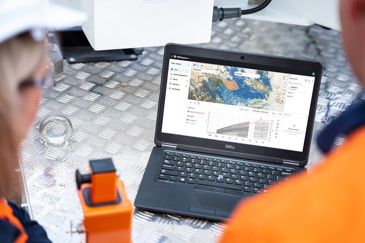
GEOExplorerIQ™ brings together surface, subsurface and remote sensing data from multiple instruments, systems and vendors into one secure, cloud-native platform.
By connecting monitoring data, analytics and workflows, GEOExplorerIQ™ turns complex geotechnical information into trusted, actionable insights to identify change earlier, proactively manage risk and respond faster.
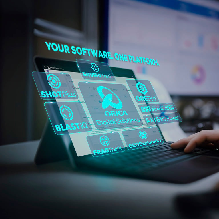
Built on Orica Digital Solution ecosystem.
“GEOExplorerIQ advances Orica’s strategy to create an open, secure and connected digital ecosystem for customers. The future of geotechnical monitoring is not individual technologies working in isolation.
"GEOExplorerIQ brings monitoring technologies, data and workflows together, helping customers understand changing conditions, anticipate risk and respond with greater confidence."
Video - GEOExplorerIQ™ - Manage risk with confidence
Video - GEOExplorerIQ™ - Manage risk with confidence
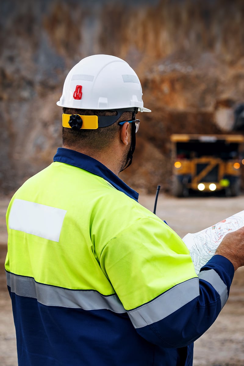
Seamless integration across data, devices, and systems.
From construction and commissioning through to long-term asset management, GEOExplorerIQ™ provides a connected monitoring environment that supports greater visibility, coordination and continuity across the asset lifecycle.
GEOExplorerIQ™ is designed to connect monitoring technologies across the Orica Digital Solutions’ Geosolutions portfolio, alongside supported third-party data sources. This platform allows you to identify settlement trends, monitor potential impacts on surrounding infrastructure and better understand changing ground conditions across complex environments.
Connected analytics, alerts, reporting and in-app event tracking help teams streamline risk management, improve coordination and make informed decisions throughout the asset lifecycle.
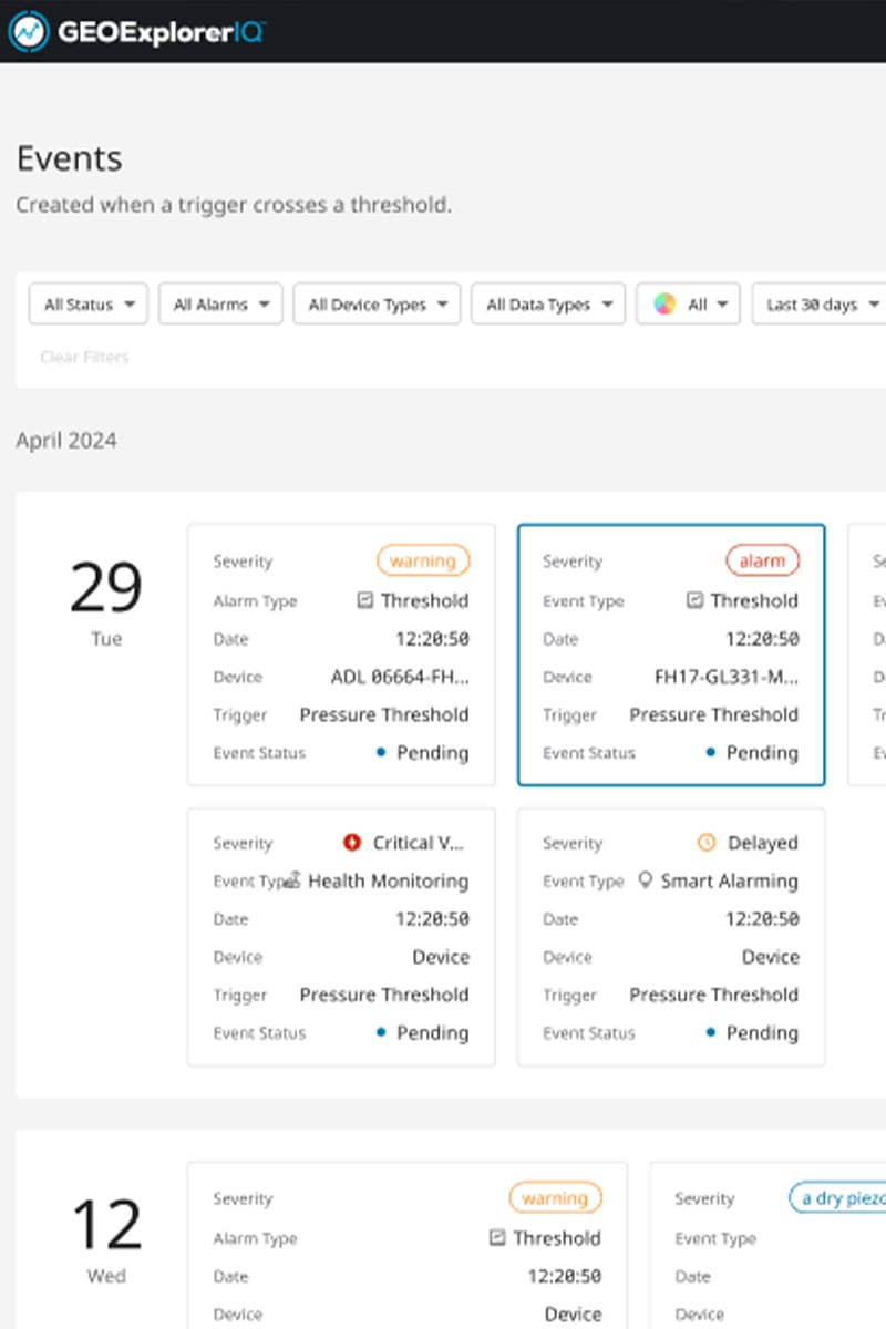
Integrated workflows and risk management.
With GEOExplorerIQ™, identify emerging risks before critical thresholds are reached, streamline response workflows and improve coordination across teams.
The platform also supports timely, accountable decisions with structured event management, role-based dashboards and traceable actions.
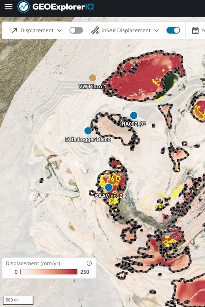
Connected monitoring for confident decisions.
“GEOExplorerIQ brings monitoring data, analytics and workflows together to provide a unified view across surface, subsurface and remote sensing technologies.
"By turning data into meaningful insights, customers can identify change earlier, reduce uncertainty and make more informed decisions with confidence."
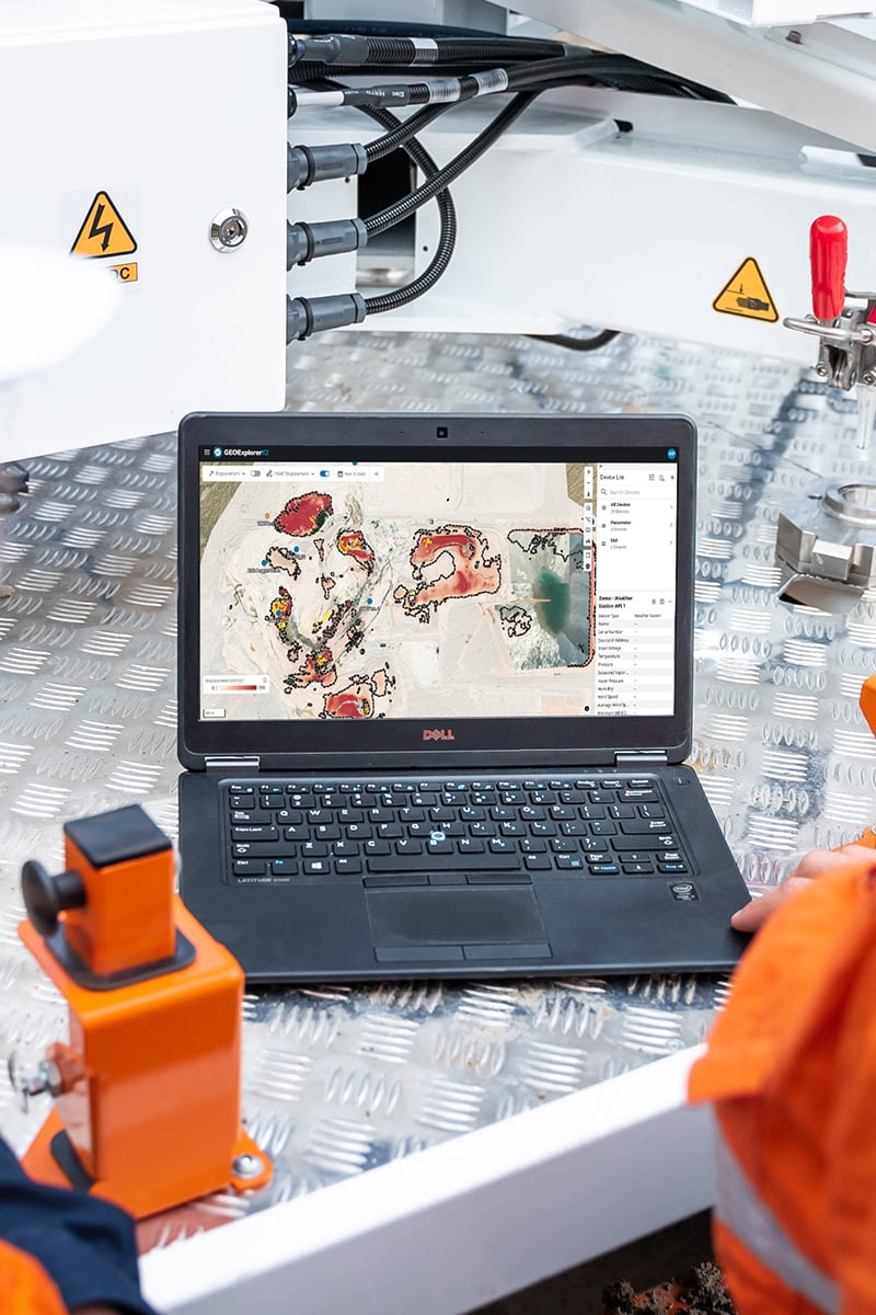
Advanced analytics and AI-assisted insights.
GEOExplorerIQ™ allows you to turn complex monitoring data into actionable insights to better understand ground behaviour, identify trends and focus attention where it matters most.
AI Assist makes it easier to interrogate monitoring data using natural language, quickly summarise information and generate charts, trends and reports.
Together, advanced analytics and AI-assisted insights help teams move faster from data to understanding to informed decisions.
Request a demo.
Request a demo.
Discover how GEOExplorerIQ™ can help connect your monitoring data, streamline workflows and provide greater visibility across your operations.