Case Study
The Road to Increased Safety
16 Aug 2022
Project Overview
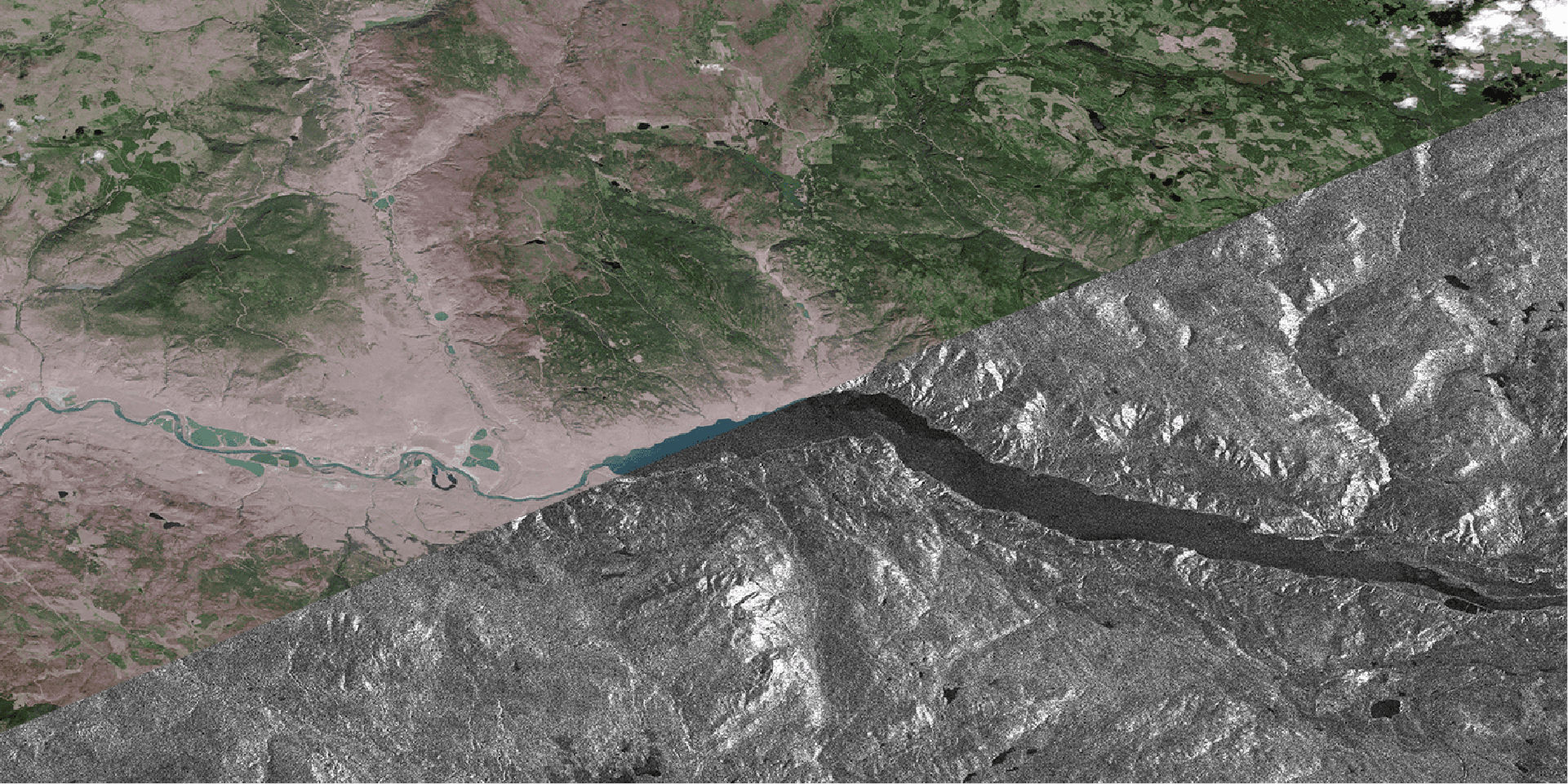
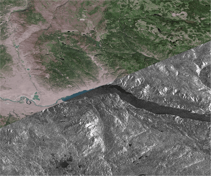
3vGeomatics conducted a historical analysis and processed data on a transportation corridor along the Thompson River near Ashcroft, British Columbia. This 10-kilometer stretch has numerous slope instabilities that threaten a major highway and two railways.
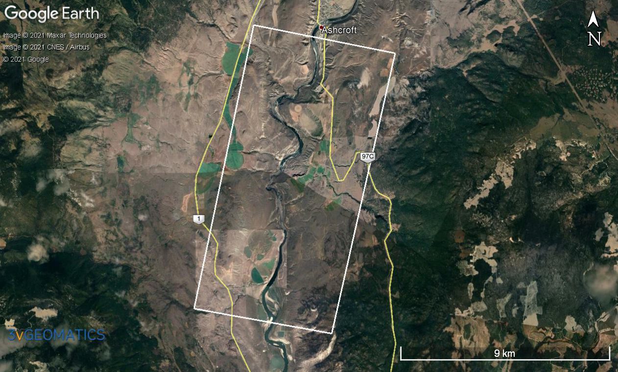
3vGeomatics analyzed 86 RADARSAT-2 images acquired between September 2013 and November 2019. Focusing on a zone 18 km wide by 52 km long, displacement was identified in 18 distinct areas. The area outlined above is a 6km x 12km subset of the monitoring area.
Goals
- Identify potentially hazardous active displacement areas across vast tracts of linear infrastructure using InSAR
- Demonstrate how InSAR can monitor entire networks of infrastructure simultaneously to prioritize risk areas.
Solution/Results
3vGeomatics analyzed 86 RADARSAT-2 images acquired between September 2013 and November 2019. Focusing on a zone 18 km wide by 52 km long, displacement was identified in 18 distinct areas. The fastest displacement measured was over 16 cm/year, while the slowest was less than 1 cm/year. The high sensitivity of InSAR measurements facilitated the identification of unknown displacement, as well as locating the extent of known displacement areas. The results were presented as a rate map and as thousands of time series graphs showing displacement histories for points within the displacement areas.
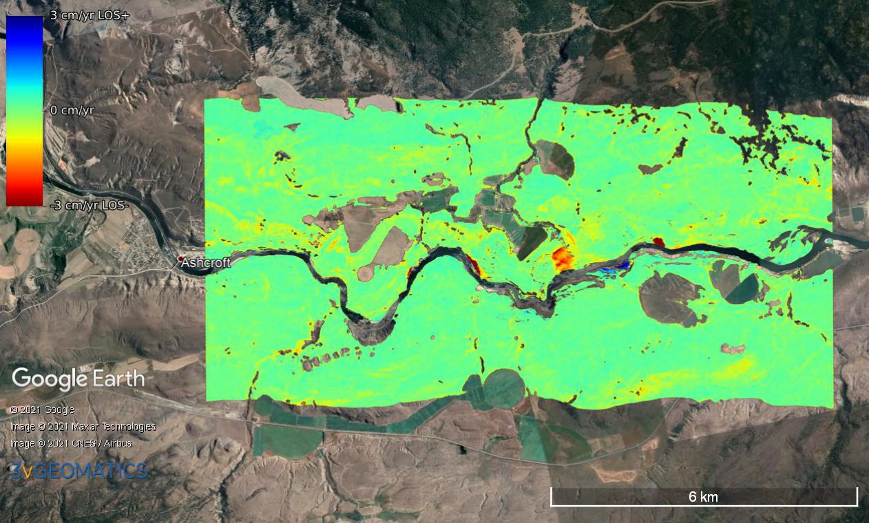
InSAR’s wide coverage, density, scalability, sensitivity, and archive availability is a preemptive measure against geohazards over vast regions. The high sensitivity of InSAR measurements facilitated the identification of unknown displacement, as well as locating the extent of known displacement areas.
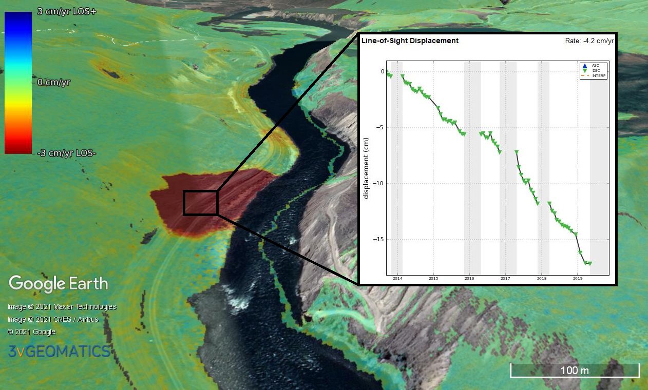
An area of significant displacement is observed crossing the railway network leading into Ashcroft. Results of the monitoring identified 18 areas of displacement. The fastest displacement measured was over 16 cm/year, while the slowest was less than 1 cm/year.