
DIGITAL SOLUTIONS
GEOExplorerIQ™
Turning monitoring data into decision intelligence.
One connected monitoring environment
One connected monitoring environment
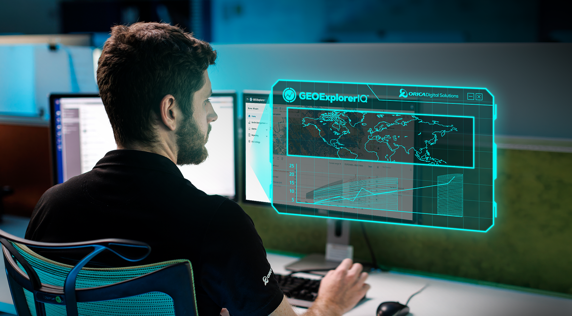
GEOExplorerIQ™ brings together monitoring data, analytics, workflows and reporting in a single connected environment, helping teams move from monitoring data to confident action. Designed for mining and infrastructure, it helps teams detect change earlier, respond faster and make more confident decisions.
GEOExplorerIQ™ turns data into decisions by combining:
- Multi-source monitoring data
- Advanced analytics and forecasting
- Automated workflows and risk management
- Alerts, reporting and collaboration
- Enterprise-grade secure cloud infrastructure
All within a single connected platform.
Benefits
Benefits
GEOExplorerIQ™ transforms fragmented monitoring data into actionable insights by bringing surface, subsurface and remote sensing data together in a single cloud-native platform.

Improve safety

Data insights

Field to cloud data workflows

Social license to operate
Features and benefits
Features and benefits
Turning monitoring data into decision intelligence
Geotechnical monitoring generates vast amounts of data across surface, subsurface and remote-sensing technologies. Yet for many organisations, critical information remains dispersed across monitoring systems, software platforms and teams, making it difficult to achieve a complete understanding of changing ground and asset conditions.
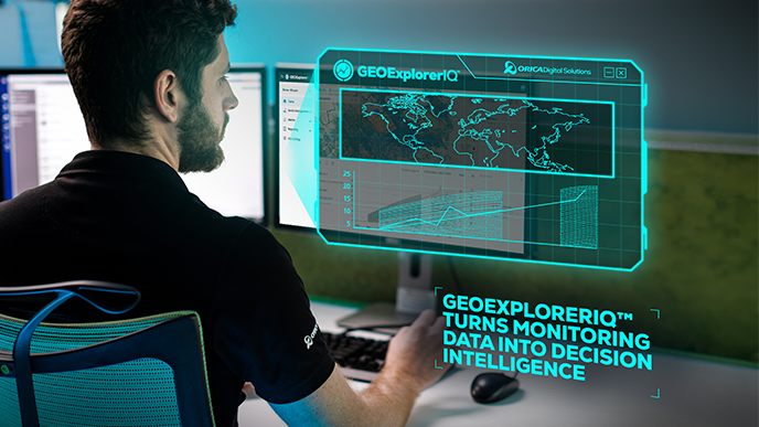
GEOExplorerIQ™ is a cloud-native geotechnical intelligence platform that brings monitoring data, analytics and workflows together in a single environment. By connecting disparate sources of information, GEOExplorerIQ™ helps organisations detect change earlier, proactively manage risk and make decisions with greater confidence.
Designed for mining, infrastructure and energy environments, GEOExplorerIQ™ transforms monitoring data into actionable intelligence by breaking down data silos, streamlining workflows and enabling enterprise-wide visibility from a single source of truth.
Further insights
Further insights
ODS Platform
Built within the ODS Platform, GEOExplorerIQ provides a trusted foundation for connecting monitoring data and turning insights into action. The cloud-native platform is designed to support enterprise-scale operations while helping organisations meet stringent security, compliance and governance requirements.
Key capabilities
- Cloud-native platform within the Orica Digital Ecosystem
- Runs on Microsoft Azure infrastructure
- Aligns with ISO 27001-certified security standards
- Enables data encryption using NIST-approved algorithms
- Supports single sign-on (SSO) integration and multi-factor authentication
- Provides secure backup, monitoring and incident response capabilities

Industries
Industries
Civil infrastructure
Construction

Energy

Iron ore
Quarrying
Surface coal
Surface metal

Underground construction and tunnelling
Underground mining
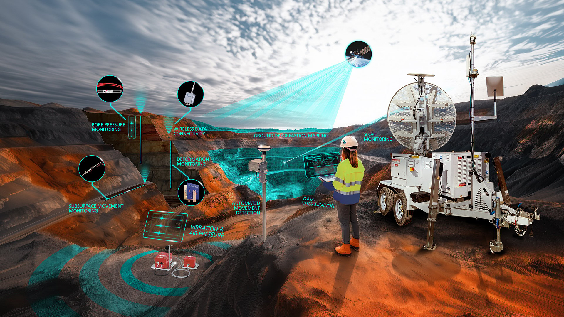
From detection to action. One continuous workflow for Mining
Continuous monitoring for safer, more confident mining operations
GEOExplorerIQ™ enables continuous monitoring from active operations through to long-term slope and asset stability, helping teams understand change over time and manage risk with confidence.
By bringing together InSAR, surface and subsurface monitoring data within a single platform, GEOExplorerIQ™ provides a clearer understanding of slope behaviour and reduces uncertainty in dynamic mining environments.
Connecting analysis, alerts and workflows within one integrated system enable teams to respond faster to emerging risks, support informed decision-making and take timely action to maintain safe, productive operations.
Industry applications include open-pit mining, full mine coverage monitoring, tailings and waste monitoring, and underground monitoring.
Project applications range from safety-critical slope stability monitoring to tailings storage facilities, pipelines and surface movement monitoring.
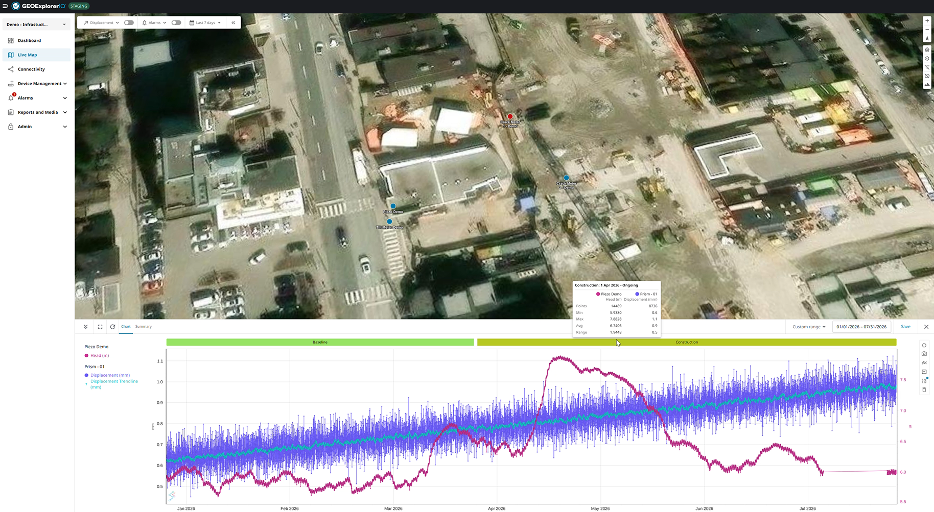
From detection to action. One continuous workflow for Infrastructure
Connected monitoring for confident infrastructure decisions
GEOExplorerIQ™ supports monitoring across construction, operations and long-term asset management phases, combining subsurface, surface and satellite (InSAR) data to track asset performance and regional ground movement through a continuous, unified view.
Integrating multiple monitoring technologies provides a broader understanding of ground behaviour, helping teams identify settlement trends earlier, protect adjacent structures and reduce uncertainty across complex infrastructure environments.
By connecting analysis, alerts and reporting within a single workflow, GEOExplorerIQ™ supports faster responses, greater accountability and more proactive risk management across projects and stakeholders.
Project applications include buildings and cities, levees and dikes, airports, and hydroelectric dams.
Related products

Digital Solutions
ODS Platform

Digital Solutions
Data Security

Digital Solutions
MonitorIQ® Next
Our industry solutions

Solution
Slope Stability Monitoring

Solution
Tailings Storage Facility Monitoring

Solution
Construction Monitoring

Solution
Subsurface injection and production monitoring

Solution
Dam and Levee Monitoring
Explore more
We are a global leader in geotechnical, geospatial and structural monitoring. We deliver a complete portfolio, from sensors to services, for mining and civil infrastructure customers. Our expertise is grounded in Orica's innovation and technical excellence that span more than 150 years.


Request a demo
Request a demo
Discover how GEOExplorerIQ™ can help connect your monitoring data, streamline workflows and provide greater visibility across your operations.