
Event
GroundProbe advanced Slope Stability Radar Data Analysis Training & Certification. 30 Nov - 4 Dec 2026
30 Nov 2026
Balikpapan Indonesia
Join our Orica Digital Solutions GroundProbe team in Balikpapan for specialist group Training and Certification in Advanced Slope Stability Radar Data Analysis.
The training empowers technical leaders and site teams to unlock the full value of radar data for safer, faster, and more confident operational decisions.
Course objective
- Develop advanced skills in data analysis, interpretation, site monitoring, velocity analysis, and collapse forecasting
- Understand radar measurements and the external factors that influence data quality and interpretation
- Apply inverse velocity techniques to analyse movement trends and forecast collapses with greater confidence
- Master industry best practices for optimising alarm configuration and management
- Maximise the value of the latest software releases and new functionality
- Learn from real-world applications and proven customer case studies.
Training Modules
- General Slope Monitoring
- Radar Physics
- Managing Atmospheric Conditions
- Understanding SSR Data
- Slope Deformation and Advanced
- Velocity Analysis
- Estimating Failure Time
- Alarm Settings and Back Analysis
- Data Quality Assessment
- GroundProbe Technology Update
- Hands-on Monitoring
- Slope Stability Radar Case Studies
Inclusions
Seminar kit, hands-on practice, copy of material, snacks and lunch, certificate of completion.
Course Fee
DR 10,000,000 (incl. tax)
Substitution of attendees is permitted at no cost.
Payment
Payment can be made via a Purchase Order (submitted prior to the course) or by direct bank transfer. For details, contact: [email protected]
Contact
Please direct course enquiries to:
[email protected]
+62 822 5384 4544
What we're showcasing

Digital Solutions
GroundProbe
As the global leader in real‑time geohazard monitoring, Orica Digital Solutions’ GroundProbe delivers the certainty operators need to make confident, critical decisions.
Trusted by mining and civil operations around the world, our advanced technologies provide unmatched clarity and actionable insight—helping you manage geotechnical risk, protect your people and assets, and ensure operations run safely and predictably.

Digital Solutions
Slope Stability Radars
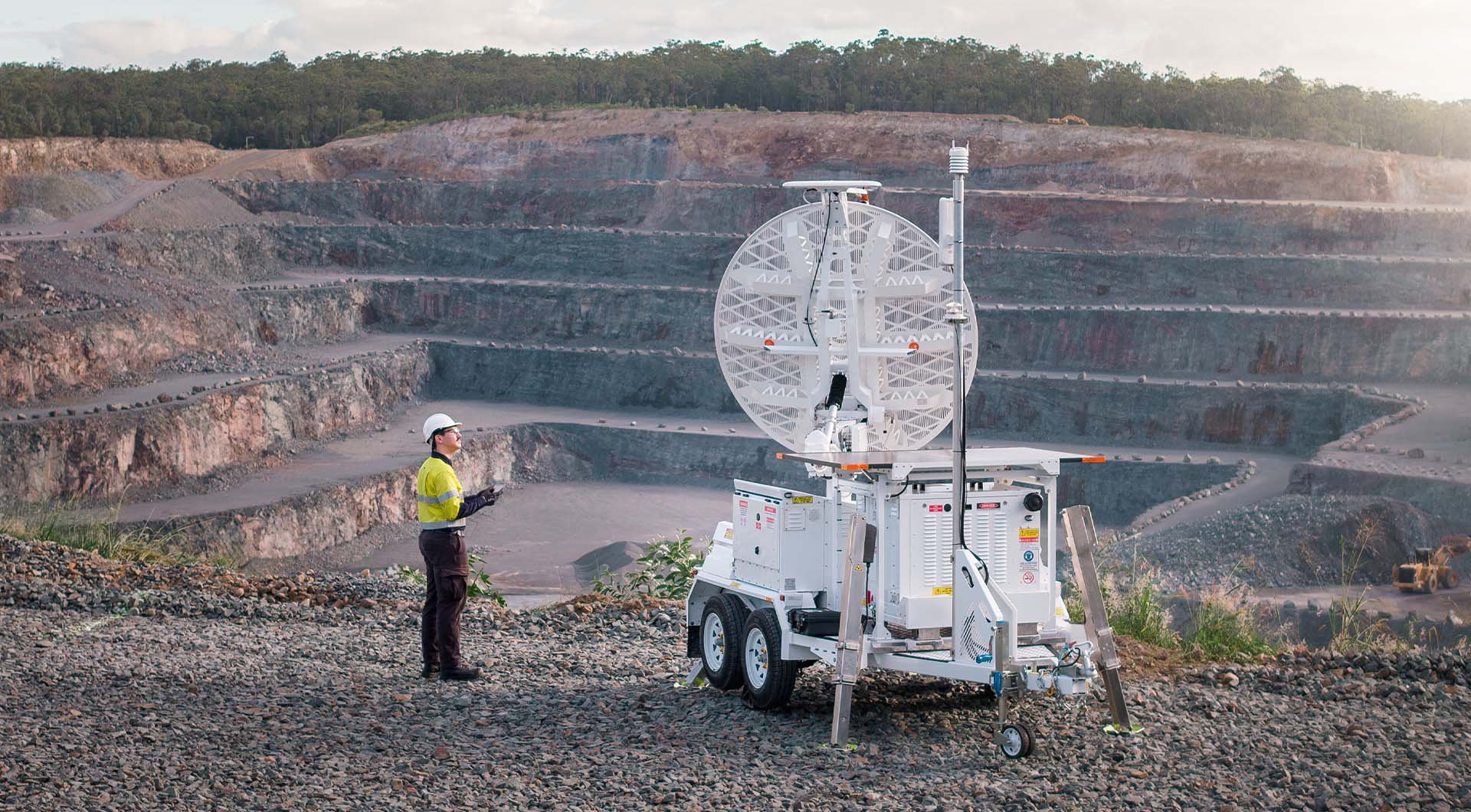
Slope Stability Radar (SSR) technology offers advanced solutions for monitoring slopes, detecting movement and ensuring safety.

Digital Solutions
GroundProbe SSR-XT Slope Stability Radar
Our SSR-XT provides tactical, targeted monitoring across broad mine sites. Learn how the SSR-XT detects movement that could pose an immediate or potential threat to mine slopes, tailings dams, and surrounding infrastructure.

Digital Solutions
GroundProbe SSR-FX Slope Stability Radar
Our SSR-FX is designed to identify risks & hazards in open cut environments. Learn about how the SSR-FX can detect movement across vast mine sites now.

Digital Solutions
GroundProbe SSR-SARx Slope Stability Radar
Our SSR-SARx is a long-range, high-resolution 2D Synthetic Aperture Radar (SAR) system purpose-built for tailings dam monitoring, capable of identifying risks and hazards by detecting even the smallest ground movements over extended periods of time.

Digital Solutions
GroundProbe SSR-Omni
The SSR-Omni is a full-coverage, high-resolution monitoring solution that delivers precise, actionable data.